
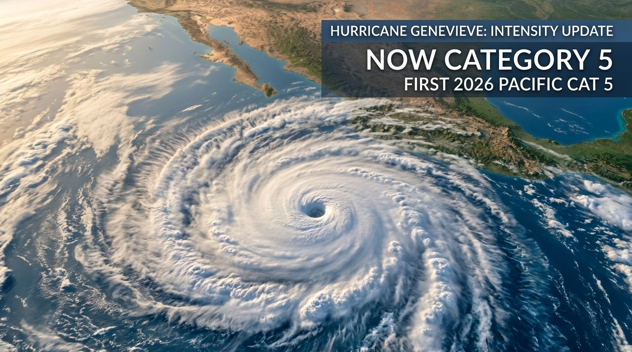
Hurricane Genevieve exploded into the first Category 5 hurricane of the 2026 Eastern Pacific season early Monday, with peak sustained winds hitting 160 mph before the storm began a slight weakening trend. It remains a powerful Category 4 major hurricane far off Mexico’s southwestern coast, and forecasters say it poses no direct threat to land.
How Fast Did Genevieve Intensify?
Genevieve’s rise was remarkably fast. The system was a 90-mph hurricane early Sunday, strengthened to a 120-mph major hurricane by Sunday afternoon, and kept climbing overnight — reaching Category 5 strength with 160-mph winds by around 2 a.m. MST Monday. That’s the storm’s peak wind speed roughly doubling in under 36 hours, a textbook case of rapid intensification driven by warm Pacific water, low wind shear, and favorable upper-level conditions.
By Monday afternoon, the National Hurricane Center pegged sustained winds around 150-155 mph as the storm began an expected weakening phase, keeping Genevieve at Category 4 strength. Forecasters note a chance of an eyewall replacement cycle in the next day, which can cause the storm’s intensity to fluctuate before it resumes weakening.
Where Is Genevieve Headed?
As of the latest advisory, Genevieve was centered several hundred miles southwest of Manzanillo, Mexico, moving west-northwest and expected to stay on a track that keeps it well off the coast. No coastal watches or warnings are currently in effect. The storm is forecast to remain a major hurricane through at least Wednesday before cooler waters and drier air trigger a more rapid weakening later in the week.
Coastal Impacts Even Without Landfall
Although Genevieve isn’t expected to strike land, its size is generating dangerous ocean conditions. The National Hurricane Center has warned of life-threatening surf and rip currents along the southwestern Mexican coast and the Baja California Peninsula, with swells spreading northward through the week. Beachgoers in those areas are advised to stay out of the water even under otherwise sunny skies.
| Quick Facts |
| Peak intensity: Category 5, 160 mph sustained winds (Monday, ~2 a.m. MST) |
| Current status: Category 4 major hurricane, weakening slightly |
| Location: Well southwest of Manzanillo, Mexico, over open Pacific water |
| Land threat: None expected — storm is forecast to stay offshore |
| Main hazard: Life-threatening surf and rip currents along Mexico’s southwest coast and Baja California |
| Significance: First major Eastern Pacific hurricane of 2026; first Category 5 in the basin since 2024’s Hurricane Kristy |
This is a developing story. Sources: National Hurricane Center, Associated Press/ABC News, Newsweek, weather.com.